Day 6: Raster
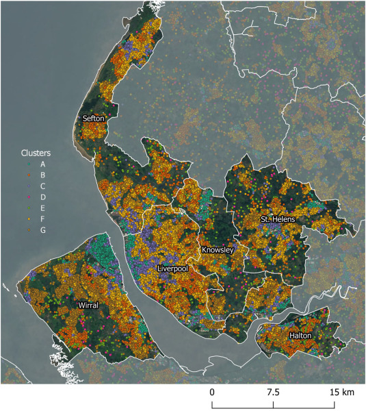
This map exploits advances in machine learning to implement a new method of capturing a measure of urban context from multispectral satellite imagery at a very small area level through the application of a convolutional autoencoder (CAE). Cluster analysis was used to generate a typology from the CAE output comprising seven groups describing salient patterns of differentiated urban context. You can view an interactive map here, and download the data too.

Full details can be found in this paper:
Singleton, A., Arribas-Bel, D., Murray, J., & Fleischmann, M. (2022). Estimating generalized measures of local neighbourhood context from multispectral satellite images using a convolutional neural network. Computers, Environment and Urban Systems, 95, 101802. https://doi.org/10.1016/j.compenvurbsys.2022.101802